- Home
-
About Us
About Us
No Job Is Too Big or Too Small
-
Our services
Our services
Delivering Superior Performance and Operational Efficacy
-
Methods
Methods
Offering Tailored Solutions For Customer Requirements
Seismic Methods Electrical Methods EM Methods Magnetic Methods GPR Method Gravity Methods Borehole Logging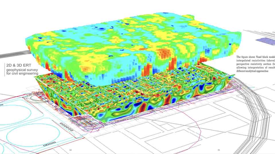
-
Project Cases
-
News
- Contact
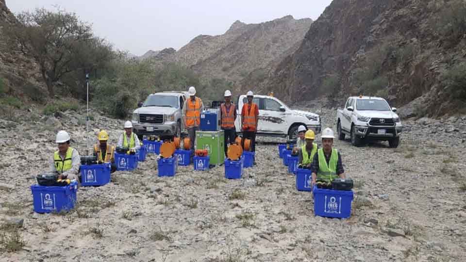
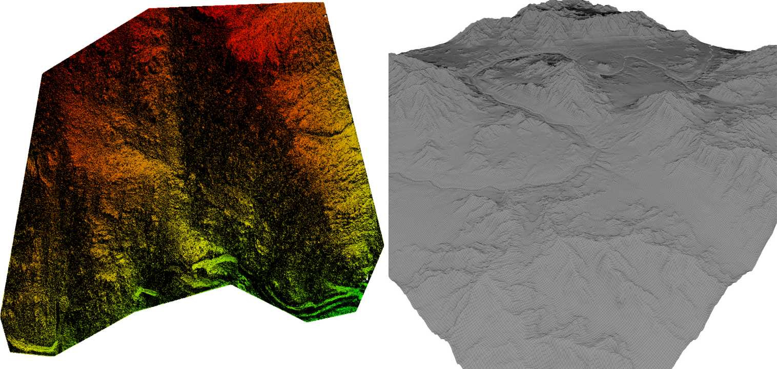
Our Services in UAV surveys includes Remote Sensing & Mapping by using High resolution Lidar Sensors, Aerial Photogrammetry, Multi Spectral & Thermal Imaging, Aerial Magnetometers & Electromagnetic Sensors in following disciplines.
-Environmental Monitoring: Tracking deforestation, pollution, changes in coastlines, etc.
-Archaeology: Discovering hidden sites and features like artifacts, biofacts or ecofacts, cultural landscapes.
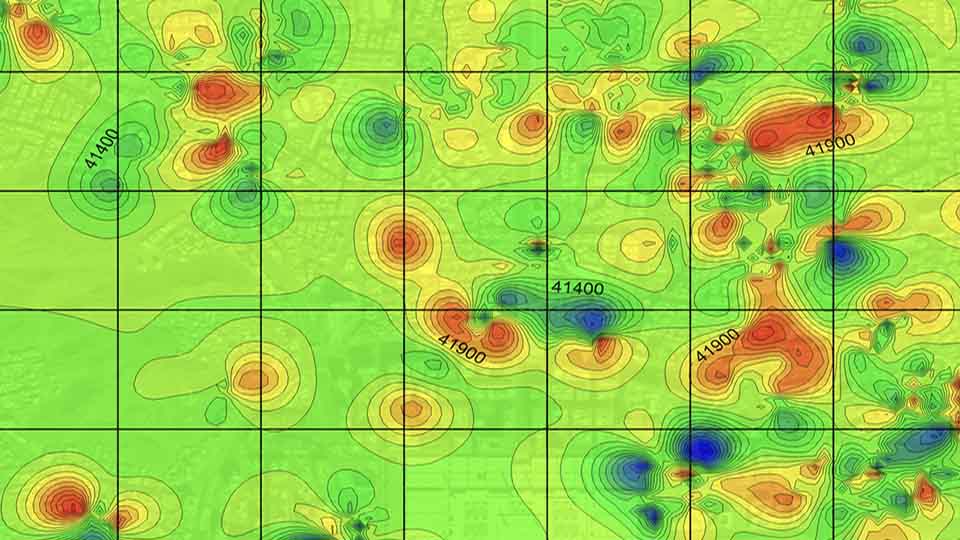
-Geology: Mapping rock formations, mineral exploration
-Urban Planning: Mapping city growth, infrastructure development.
-Agriculture: Assessing crop health, monitoring irrigation, yield prediction
-Disaster Management: Mapping flood extent, wildfire damage, earthquake impact
Related recommendations
-
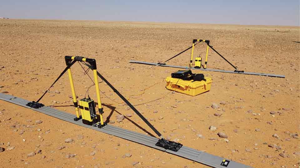
Seismic Methods
Seismic geophysical methods can cost-effectively image the subsurface over a large area and have been extensively used in deep earth studies and natural resource exploration
Learn more -
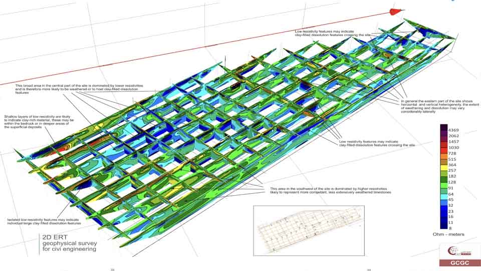
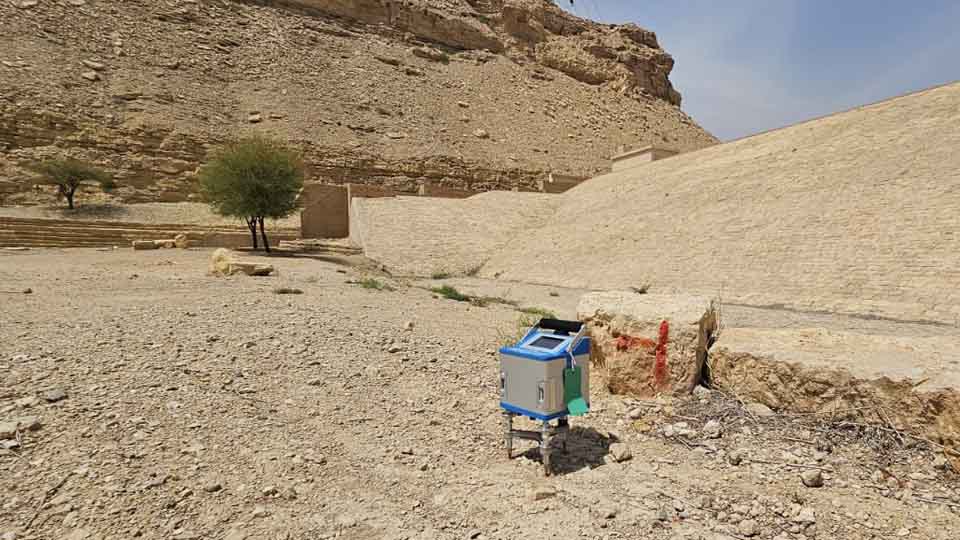
Electrical Methods
The electrical properties of the subsurface vary with the ground material, the presence and saturation level of fluids, and the presence of buried objects. Electrical techniques seek to describe the distribution of these properties as a function of depth and horizontal distance.
Learn more -
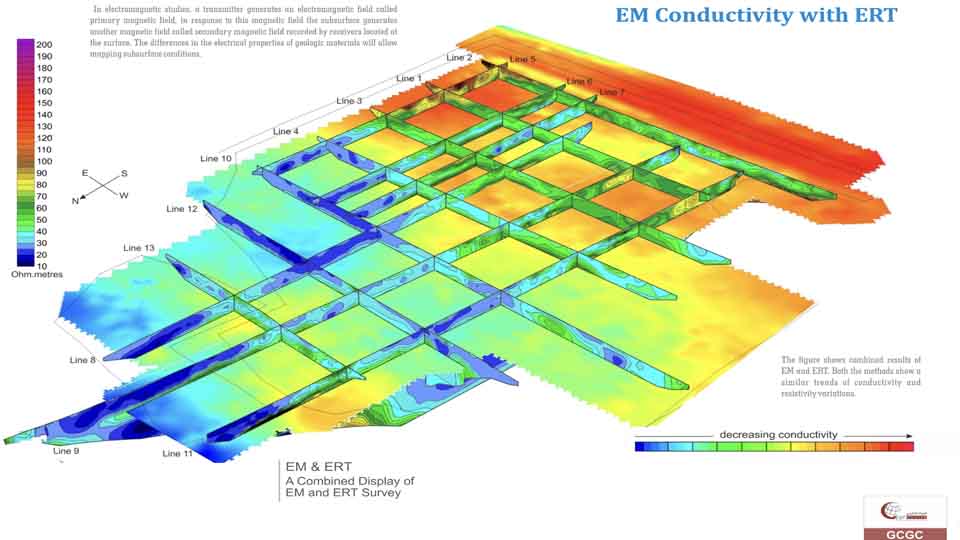
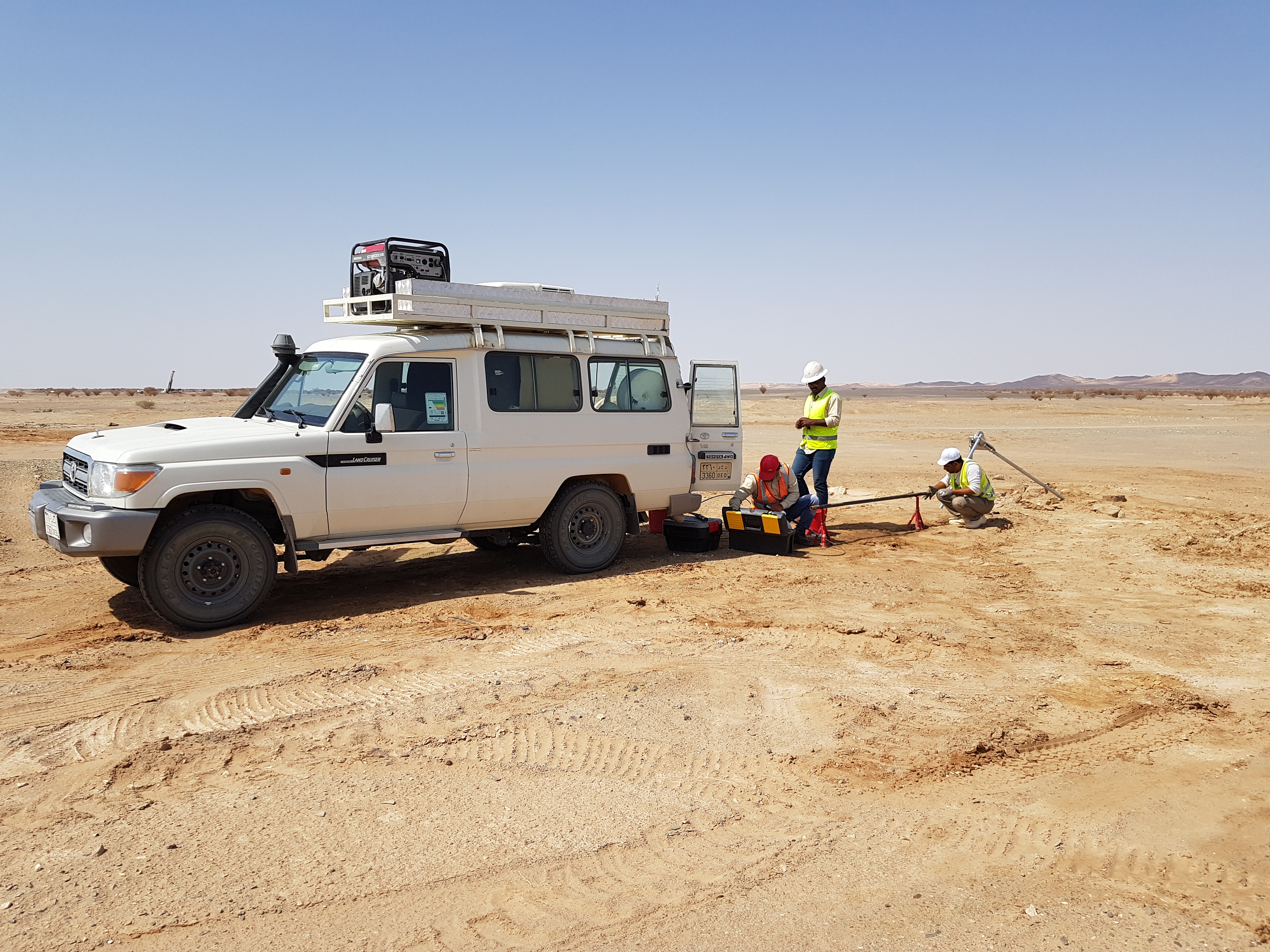
EM Methods
Electromagnetic (EM) surveying, the electrical conductivity of the ground is measured as a function of depth and horizontal distance. Different rocks exhibit different values of electrical conductivity. The electromagnetic method is based on the induction of electric currents in the ground by the magnetic component of electromagnetic waves generated at the surface
Learn more