
- Home
-
About Us
About Us
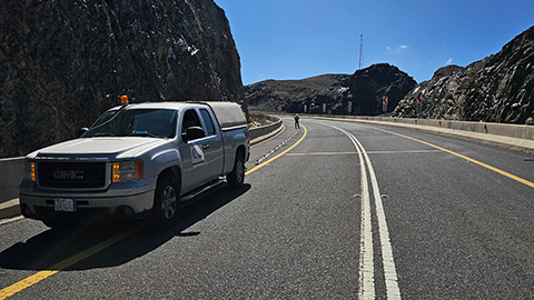
No Job Is Too Big or Too Small
-
Our services
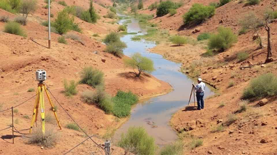
Our services
Delivering Superior Performance and Operational Efficacy
-
Methods
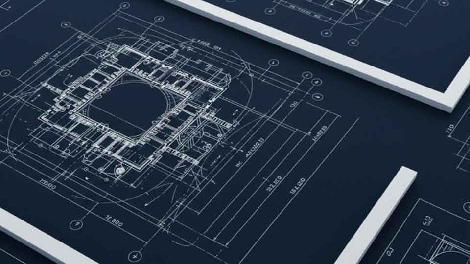
Methods
Offering Tailored Solutions For Customer Requirements
Seismic Methods Electrical Methods EM Methods Magnetic Methods GPR Method Gravity Methods Borehole Logging
-
Project Cases
-
News
- Contact
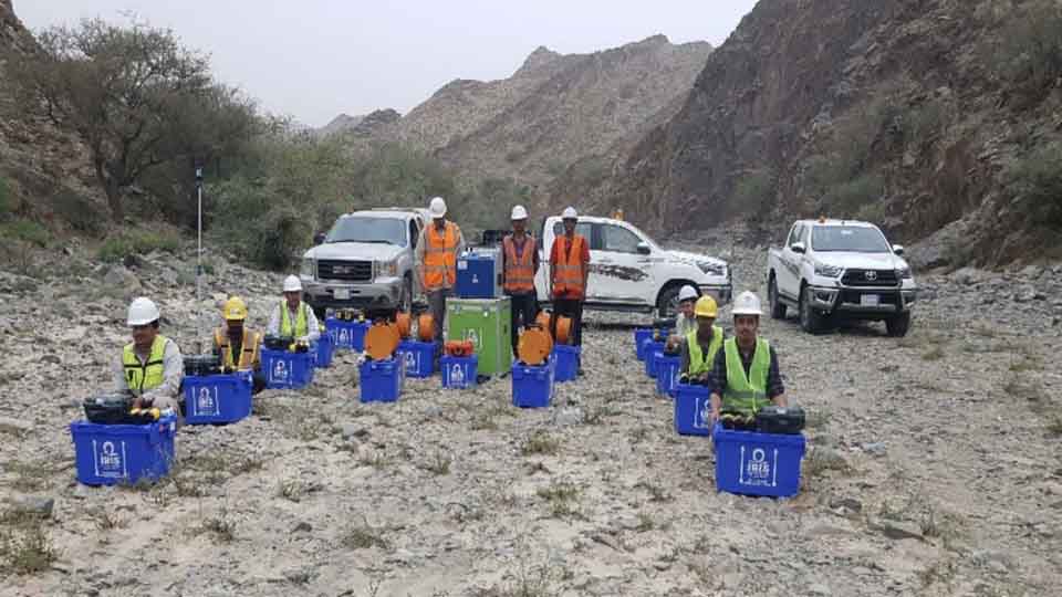

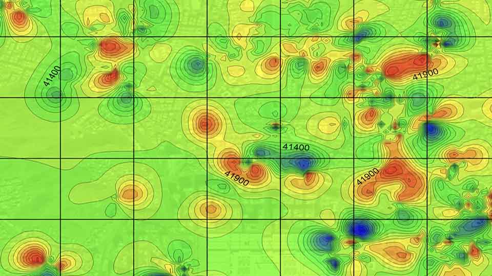
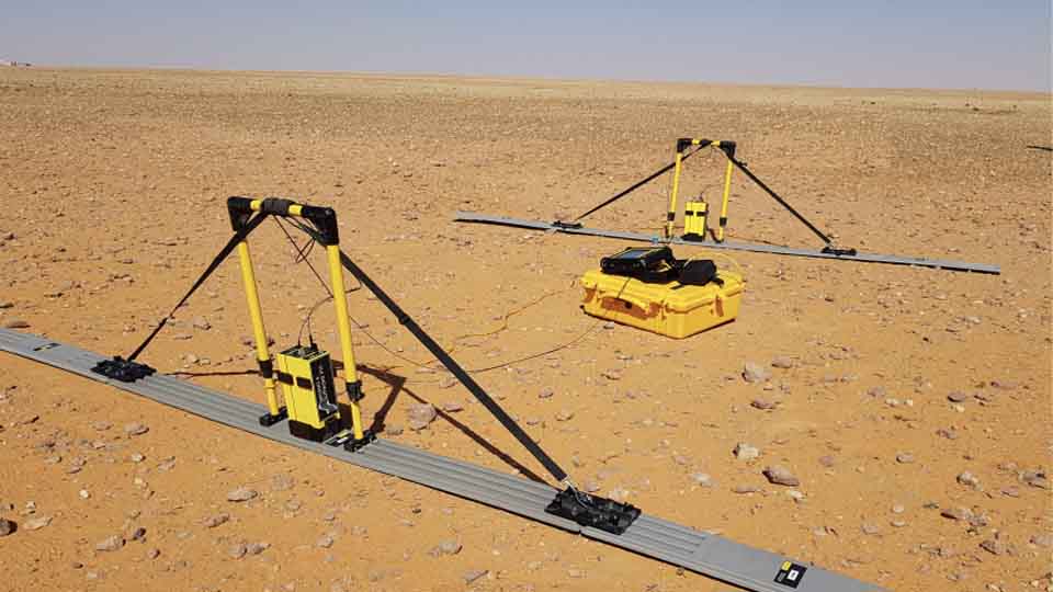
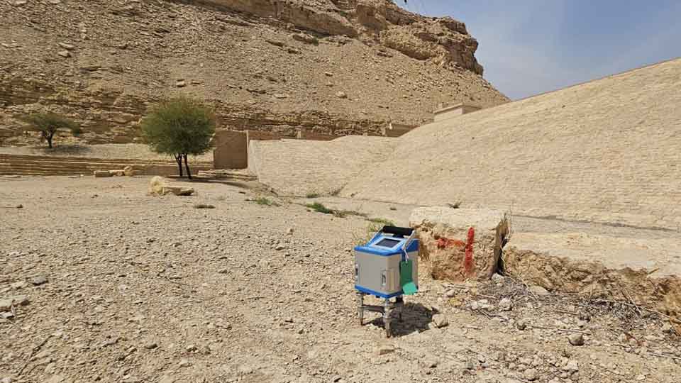
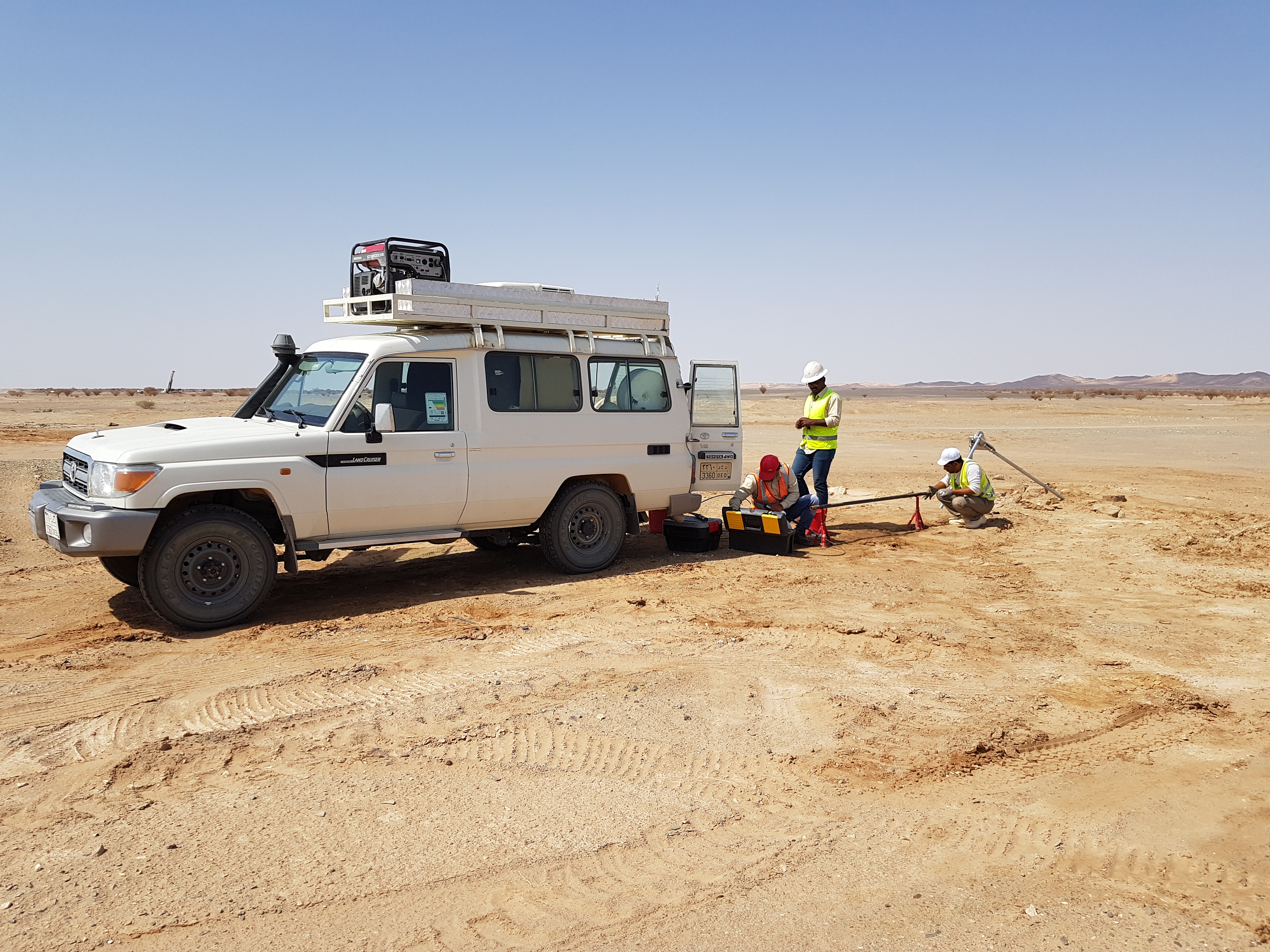
Gravity Method
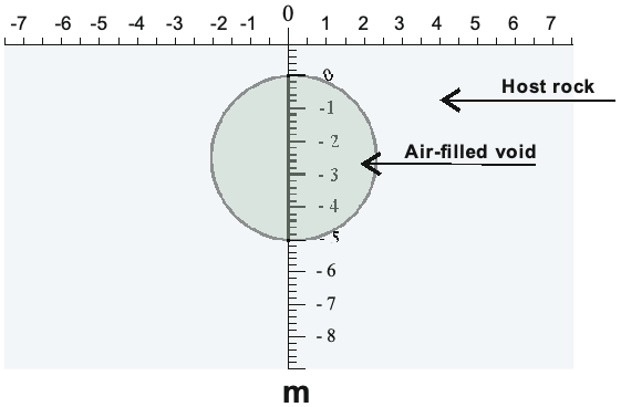
The gravity technique is based on measuring localized changes in the Earth's gravitational field which are caused by materials of different densities. The presence of an anomalously high (or low) density body in the subsurface causes a localized high (or low) anomaly in the measured gravitational field.
1-Gravity Survey for Regional Structures
2-Microgravity Survey
Applications
- Regional subsurface structures and bedrock lithology
- Detection of voids, caves, mines, basement
- Detection of buried structures, foundations and storage tanks
- Mineral Exploration
- Ground water inventories
- Fault problems
- Basin studies
Techniques
-
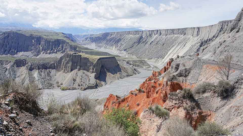
Gravity Survey for Regional Structures
The gravity field on the surface of the Earth is not uniformly the same everywhere. It varies with the distribution of the mass materials below. This lateral change can be measured and interpreted in terms of likely causative geology. A Gravity survey is an indirect (surface) means of calculating the density property of subsurface materials. The higher the gravity values, the denser the rock beneath. -
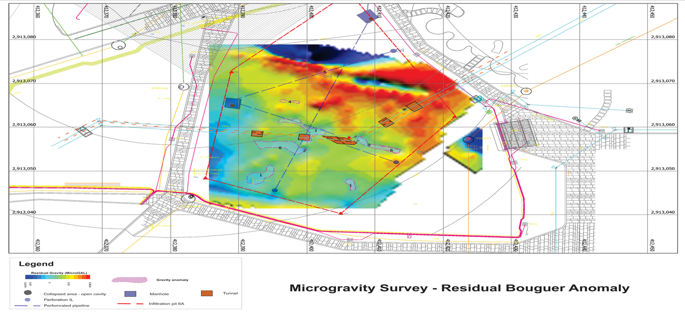
Microgravity Survey
Different subsurface materials have different bulk densities. Microgravity surveys seek to detect areas of contrasting or anomalous density by collecting surface measurements of the Earth’s gravitational field. The presence of an anomalously high or low density body in the subsurface causes a localized high (or low) anomaly in the measured gravitational field