
- Home
-
About Us
About Us
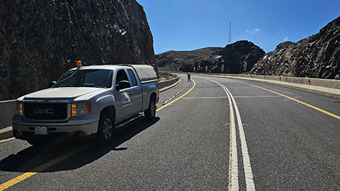
No Job Is Too Big or Too Small
-
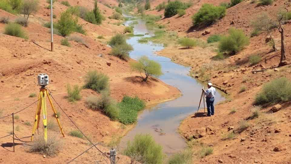
Our services
Our services
Delivering Superior Performance and Operational Efficacy

-
Methods
Methods
Offering Tailored Solutions For Customer Requirements
Seismic Methods Electrical Methods EM Methods Magnetic Methods GPR Method Gravity Methods Borehole Logging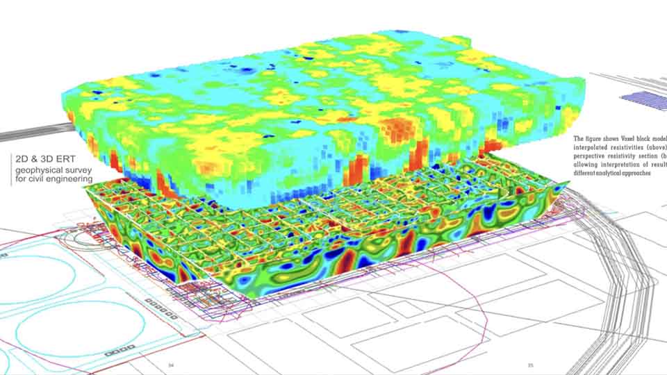
-
Project Cases
-
News
- Contact
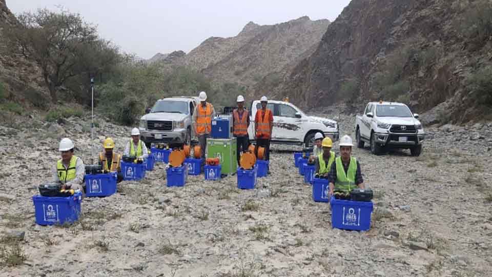
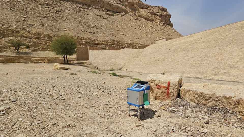
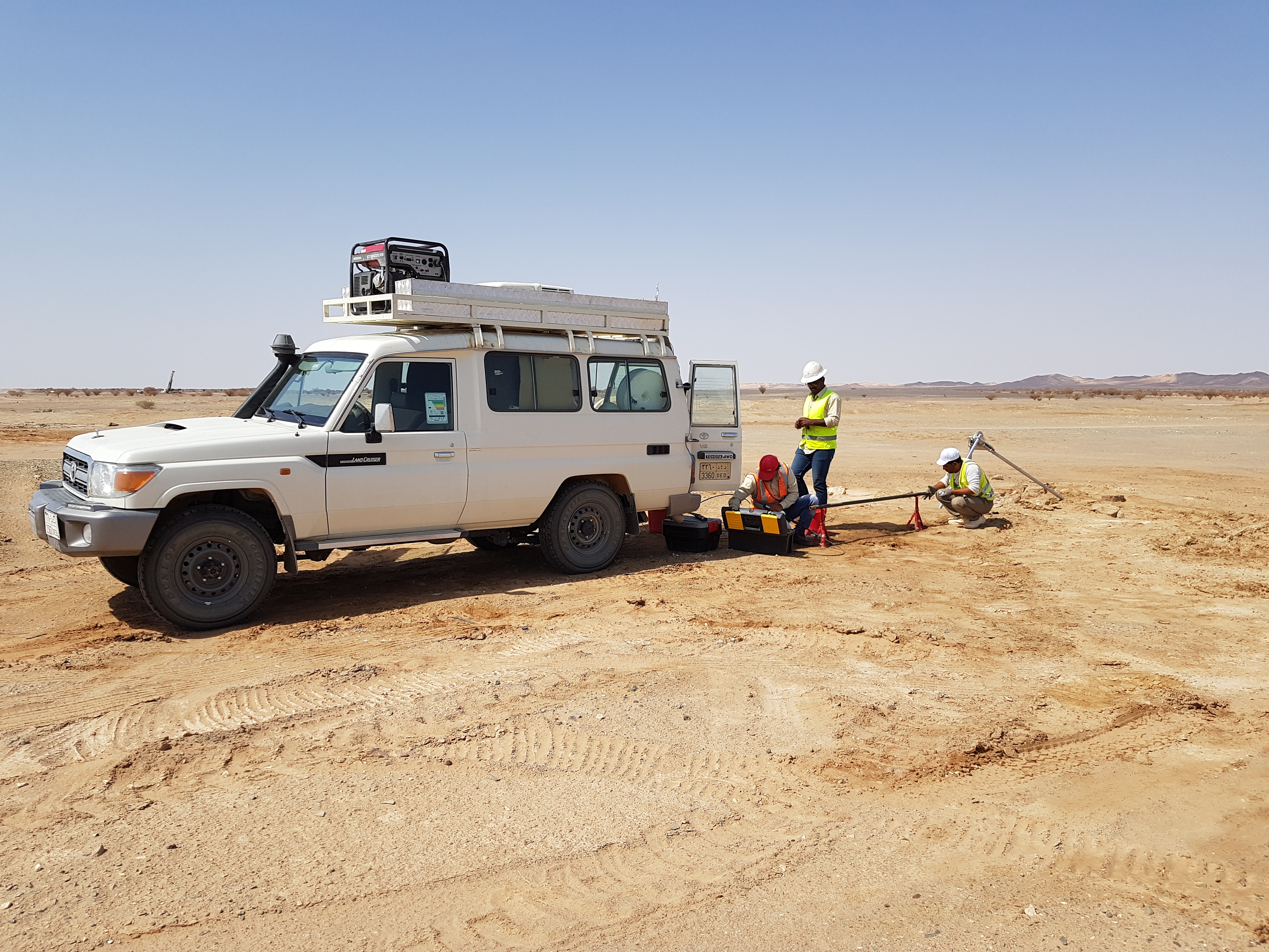
Magnetic Methods
For the magnetic geophysical survey method to be useful, the targeted geologic structure or man-made item needs to be the right size and orientation to the earth’s field such that the anomalous field can be detected.
1-Magnetic Gradiometry
2-Total Magnetic Field Intensity
Applications
- Mineral Exploration
- Locate Buried Tanks & Pipes
- Map Old Waste Sites & Landfill Boundaries
- Map Basement Faults and Geology
- Locating Landfills
- Mapping Fault and Structures
- Archaeological Studies
Techniques
-
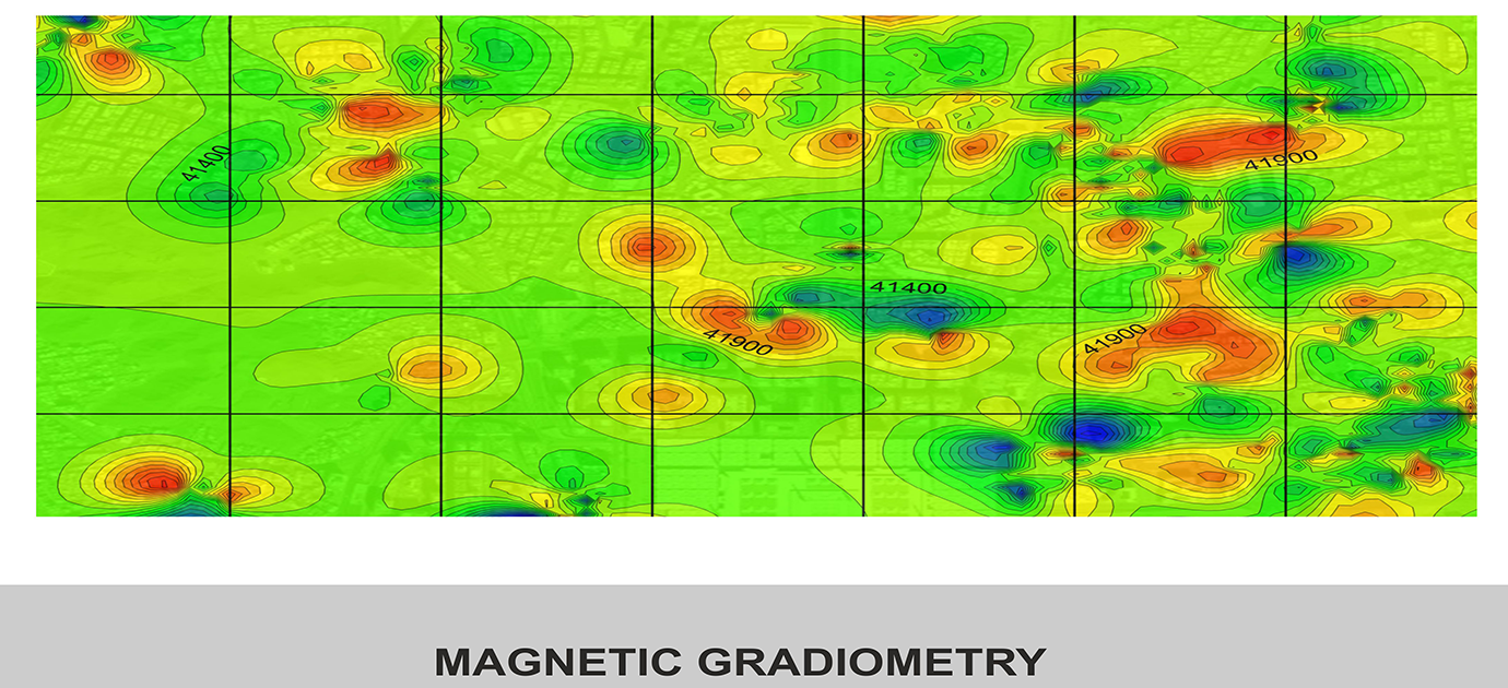
Magnetic Gradiometry
Conventional magnetic instruments are adopted such that they measure total magnetic field as well as its vertical gradient. The gradient is especially useful for detecting objects buried at shallow depths. These surveys are commonly used in location pipes, cables, metallic objects, metal drums of contaminated or toxic waste, UXO and archeological remains -
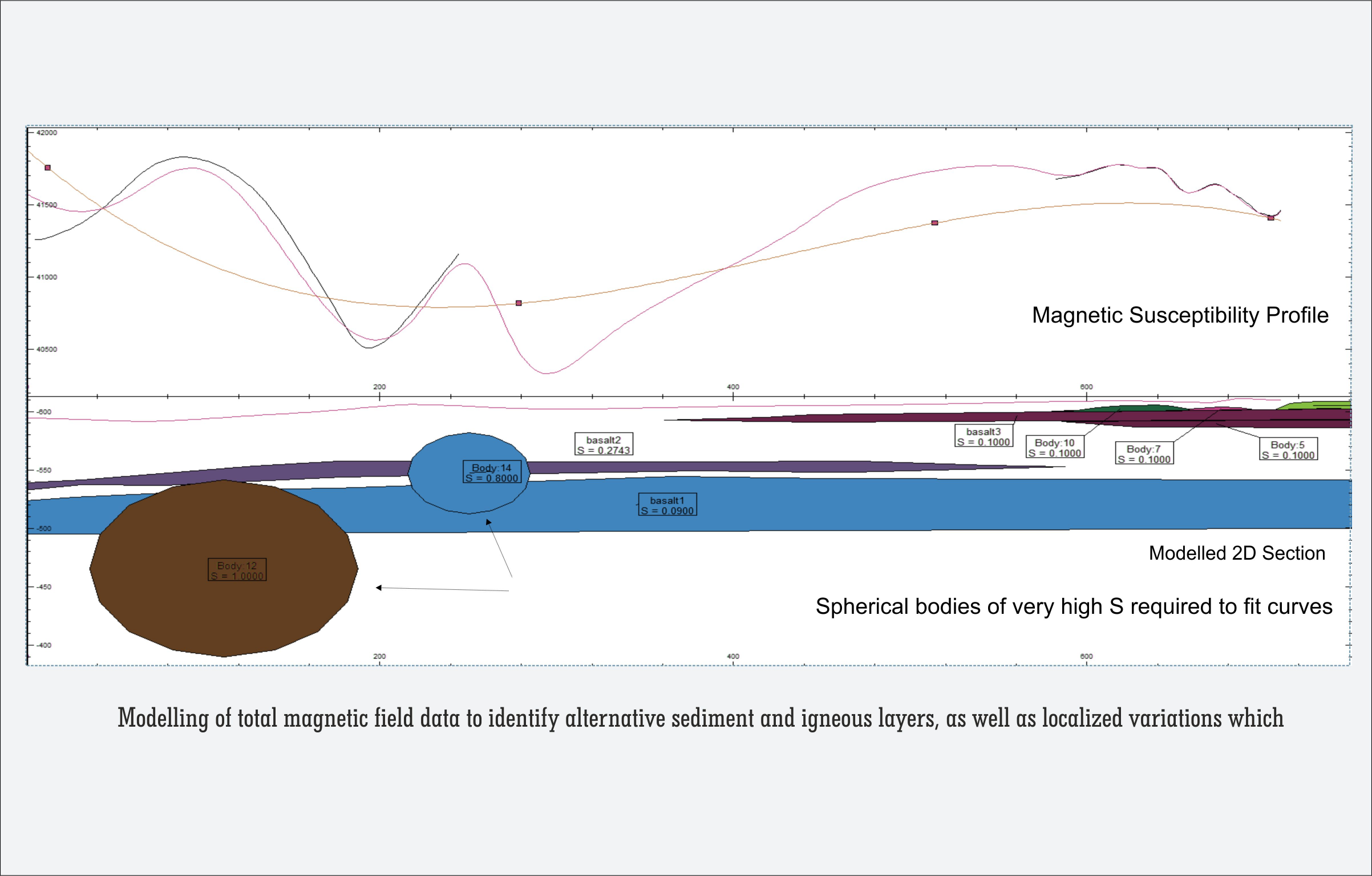
Total Magnetic Field Intensity
In this type of survey, a single magnetometer is used to measure total magnetic field of the earth. The intensity of the geomagnetic field varies between 25000 nanoTesla (nT) at the magnetic equator to approximately 65000 nT at the magnetic poles. Total magnetic field surveys are applied to mineral exploration, geothermal and hydrocarbon exploration, lithology, mapping structural geology and igneous dikes.