- Home
-
About Us
About Us
No Job Is Too Big or Too Small
-
Our services
Our services
Delivering Superior Performance and Operational Efficacy

-
Methods
Methods
Offering Tailored Solutions For Customer Requirements
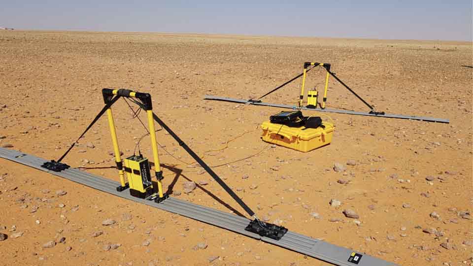
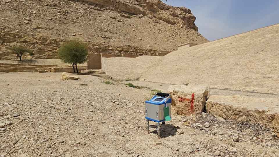
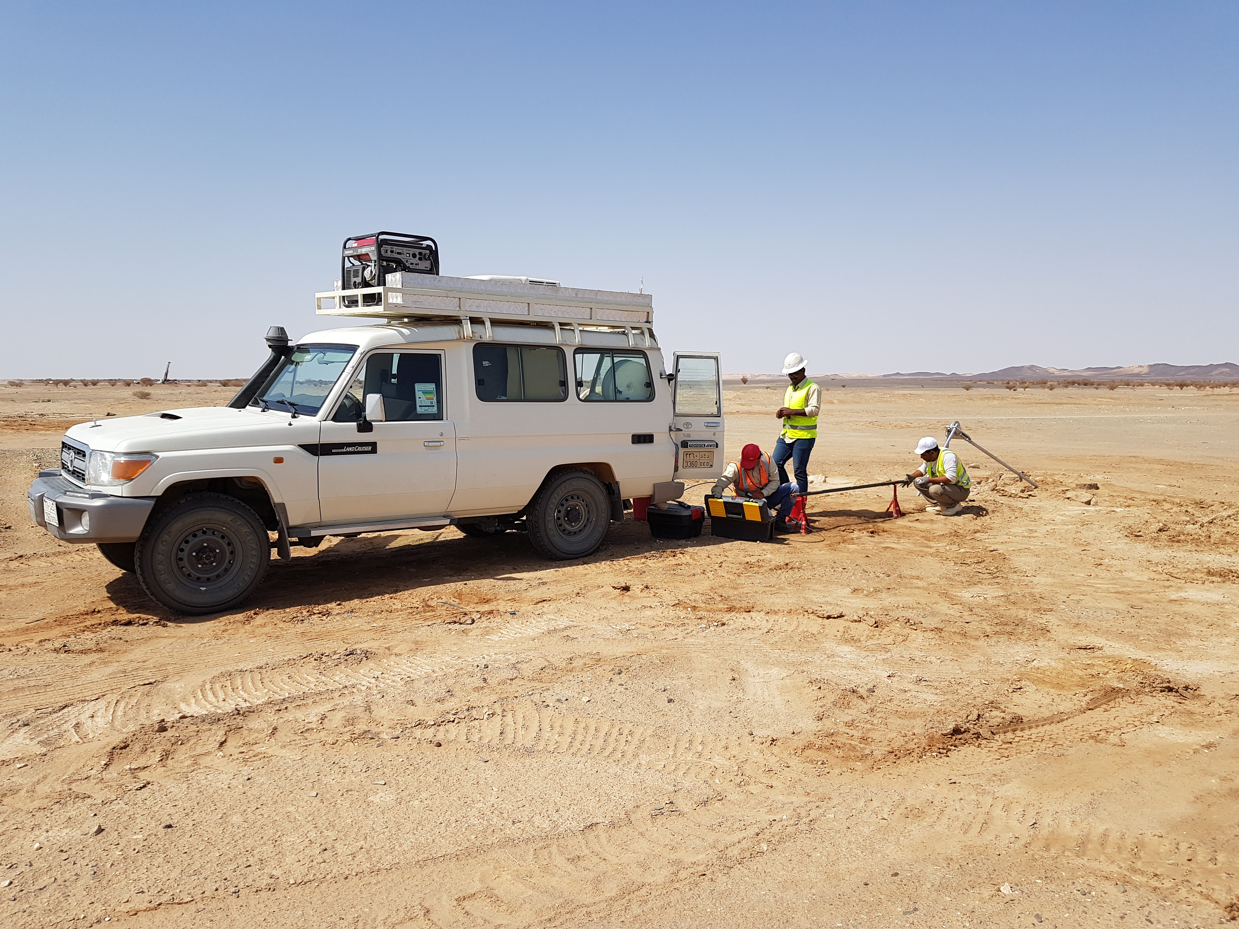
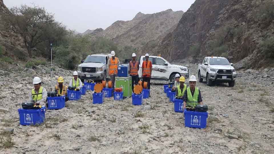
Seismic Methods Electrical Methods EM Methods Magnetic Methods GPR Method Gravity Methods Borehole Logging
-
Project Cases
-
News
- Contact
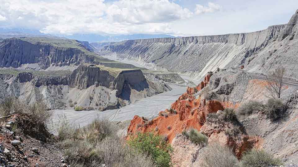
GCGC completed an aerial mapping survey using multispectral and oblique imagery in several construction’ zones in Trojena—the survey will help in geological mapping and slope stability analysis.
GCGC completed an aerial mapping survey using multispectral and oblique imagery in several construction’ zones in Trojena—the survey will help in geological mapping and slope stability analysis.
Latest Hotspots
2025-04-23
GCGC completed an aerial mapping survey using multispectral and oblique imagery in several construction’ zones in Trojena—the survey will help in geological mapping and slope stability analysis.
2025-04-23
GCGC enters into framework agreements with NEOM and MUKAAB to carry out geological mapping and risk assessments.
2025-03-27
We are excited to introduce some of the latest geophysical tools
2025-03-27
GCGC includes geotechnical investigation and geological mapping services to aid its wide range of clients in getting high-quality intrusive data in addition to its existing cutting-edge geophysical solutions.